top of page
Search


Unlocking GeoPandas Efficiency: 6 Tips to Boost GeoPandas Analysis Performance
A comprehensive guide to learn how to improve GeoPandas spatial analysis performance including code and benchmarks

Mauricio Cordeiro
Mar 26, 20246 min read


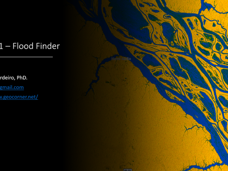
Unveiling Flooded Areas With Sentinel-1 (SAR) Imagery
Learn how to quickly delineate flooded areas through Sentinel-1 imagery the from Microsoft Planetary Computer using the "Sentinel-1 Flood Fi

Mauricio Cordeiro
Feb 28, 20244 min read


Creating Water Quality Maps From Remote Sensed Images With Python
Learn how to use waterquality python package to create beautiful water quality maps from Sentinel 2 imagery.

Mauricio Cordeiro
Jan 22, 20245 min read


Artificial Intelligence for Geospatial Analysis with Pytorch’s TorchGeo (Part 3)
An end-to-end deep learning geospatial segmentation project using Pytorch and TorchGeo packages

Mauricio Cordeiro
Jan 22, 20245 min read


Artificial Intelligence for Geospatial Analysis with Pytorch’s TorchGeo (part 2)
An end-to-end deep learning geospatial segmentation project using Pytorch and TorchGeo packages

Mauricio Cordeiro
Jan 15, 20244 min read


Artificial Intelligence for Geospatial Analysis with Pytorch’s TorchGeo (Part 1)
An end-to-end deep learning geospatial segmentation project using Pytorch and TorchGeo packages

Mauricio Cordeiro
Jan 8, 20245 min read


Water Detection in High-Resolution Satellite Images using the WaterDetect Python package
easy-to-use unsupervised water detection algorithm for Sentinel 2 and Landsat 8 images that uses a multi-dimensional clustering coupled with

Mauricio Cordeiro
Dec 20, 20238 min read


Organizing Geospatial data with Spatio Temporal Assets Catalogs — STAC using python
Learn how to create a STAC catalog for geospatial data stored locally, in Python with pystac

Mauricio Cordeiro
Mar 12, 20236 min read
bottom of page
