top of page
Search


Exploring the SWOT Pixel Cloud: A First Look at the Newest Product Release
Delve into the inaugural release of SWOT satellite data, including a quick assessment of the water mask provided by Level-2 products from th

Mauricio Cordeiro
May 4, 20247 min read


Unlocking GeoPandas Efficiency: 6 Tips to Boost GeoPandas Analysis Performance
A comprehensive guide to learn how to improve GeoPandas spatial analysis performance including code and benchmarks

Mauricio Cordeiro
Mar 26, 20246 min read


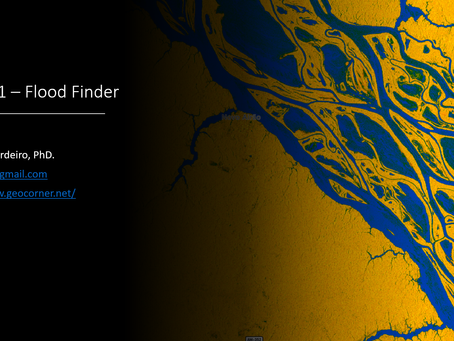
Unveiling Flooded Areas With Sentinel-1 (SAR) Imagery
Learn how to quickly delineate flooded areas through Sentinel-1 imagery the from Microsoft Planetary Computer using the "Sentinel-1 Flood Fi

Mauricio Cordeiro
Feb 28, 20244 min read


How to Learn Geospatial Data Science in 2024
A step-by-step guide for those wanting to learn geospatial data analysis with Python

Mauricio Cordeiro
Feb 5, 20249 min read


Introducing: geocorner.net
GeoCorner is A New Hub for Geospatial Knowledge, code, tutorials and more...
geocorneradm
Feb 5, 20243 min read


Artificial Intelligence for Geospatial Analysis with Pytorch’s TorchGeo (Part 3)
An end-to-end deep learning geospatial segmentation project using Pytorch and TorchGeo packages

Mauricio Cordeiro
Jan 22, 20245 min read


Artificial Intelligence for Geospatial Analysis with Pytorch’s TorchGeo (part 2)
An end-to-end deep learning geospatial segmentation project using Pytorch and TorchGeo packages

Mauricio Cordeiro
Jan 15, 20244 min read


Artificial Intelligence for Geospatial Analysis with Pytorch’s TorchGeo (Part 1)
An end-to-end deep learning geospatial segmentation project using Pytorch and TorchGeo packages

Mauricio Cordeiro
Jan 8, 20245 min read


Organizing Geospatial data with Spatio Temporal Assets Catalogs — STAC using python
Learn how to create a STAC catalog for geospatial data stored locally, in Python with pystac

Mauricio Cordeiro
Mar 12, 20236 min read


Python for Geosciences: Raster Merging, Clipping and Reprojection with Rasterio (step by step)
Learn how to perform raster reprojection, clipping and merging using the rasterio package for Python

Mauricio Cordeiro
Apr 3, 20228 min read


Python for Geosciences: Raster bit masks explained (step by step)
Learn how to (correctly) use raster bit masks layers provided by satellite images as quality assessment bands

Mauricio Cordeiro
Mar 28, 202211 min read


Python for Geosciences: Spectral Analysis (Step by Step)
In this third post we show how to perform spectral analysis on multispectral satellite imagery.

Mauricio Cordeiro
Mar 21, 20229 min read


Python for Geosciences: Satellite Image Analysis (step by step)
This is the second post in a series that will teach non-programmers how to use Python to handle and analyze geospatial data. Introduction...

Mauricio Cordeiro
Mar 14, 20229 min read


Leveraging the Performance of Agglomerative Clustering for High-Resolution Satellite Images
Learn how to improve agglomerative clustering performance on large datasets

Mauricio Cordeiro
May 10, 20216 min read
bottom of page
