top of page
Search


Exploring the SWOT Pixel Cloud: A First Look at the Newest Product Release
Delve into the inaugural release of SWOT satellite data, including a quick assessment of the water mask provided by Level-2 products from th

Mauricio Cordeiro
May 4, 20247 min read


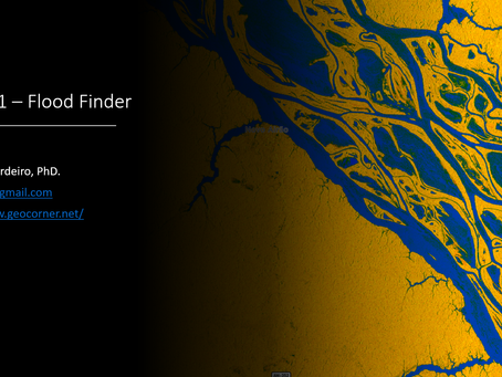
Unveiling Flooded Areas With Sentinel-1 (SAR) Imagery
Learn how to quickly delineate flooded areas through Sentinel-1 imagery the from Microsoft Planetary Computer using the "Sentinel-1 Flood Fi

Mauricio Cordeiro
Feb 28, 20244 min read


Artificial Intelligence for Geospatial Analysis with Pytorch’s TorchGeo (Part 3)
An end-to-end deep learning geospatial segmentation project using Pytorch and TorchGeo packages

Mauricio Cordeiro
Jan 22, 20245 min read


Artificial Intelligence for Geospatial Analysis with Pytorch’s TorchGeo (Part 1)
An end-to-end deep learning geospatial segmentation project using Pytorch and TorchGeo packages

Mauricio Cordeiro
Jan 8, 20245 min read


Python for Geosciences: Satellite Image Analysis (step by step)
This is the second post in a series that will teach non-programmers how to use Python to handle and analyze geospatial data. Introduction...

Mauricio Cordeiro
Mar 14, 20229 min read


Python for Geosciences: Working with Satellite Images (step by step)
First post in a series that will teach non-programmers how to use Python to handle and analyze geospatial data

Mauricio Cordeiro
Mar 7, 20228 min read
bottom of page
